WHAT IS MAP.SOCIAL?
map.social is a fun and engaging map-based outreach platform that allows users to individually or collectively create maps in a common map gallery. map.social allows residents, constituents, community stakeholders, and others to provide map referenced comments – a way for anyone to create a map of "their" community in a gallery that can be viewed by fellow community members. Individual maps can be collectively analyzed or brought into GIS for deeper analysis.
map.social is powered by Esri maps and allows residents, stakeholders, and other participants to provide feedback and comments tied spatially to an area or point. In essence, the tool provides a way for any resident to create a map of their community, identifying their own issues, opportunities, weaknesses and threats. The world around us has changed however, and the widespread use of technology is commonplace. While traditional outreach techniques are effective and important, map.social allows "charrette style" participation via the internet by providing the means for anyone from anywhere who has access to a computer to mark up a map, locate priority issues and areas, and create the narrative to go along with their map.
HOW IT WORKS
1
2
3
4
FEATURES

GIS INTEGRATION
Powered by Esri, data collected can be imported and analyzed using ArcGIS Online or exported as shapefiles

CROSS BROWSER SUPPORT
Responsive web design ensures map.social is optimized over a wide range of devices – phones, tablets, pcs

ATTACH PHOTOS
Attach photos to your points and comments or take a picture with your phone

HOT SPOTS
Identify hotspots which help capture common trends and potential priority areas

REPORTS
Regular reports and data summaries help you keep tabs on project activity and trends as they develop in real time

INDIVIDUAL & SHARED MAPS
Projects can be configured to provide one "shared" map or multiple individual maps, depending on the intended application

SOCIAL NETWORKING
Integrated with social networking sites, allowing users to sign in with social media, share input, and invite others to do the same

POINTS, PATHS, POLYGONS
Users can easily plot points, draw lines and paths, or identify areas and districts

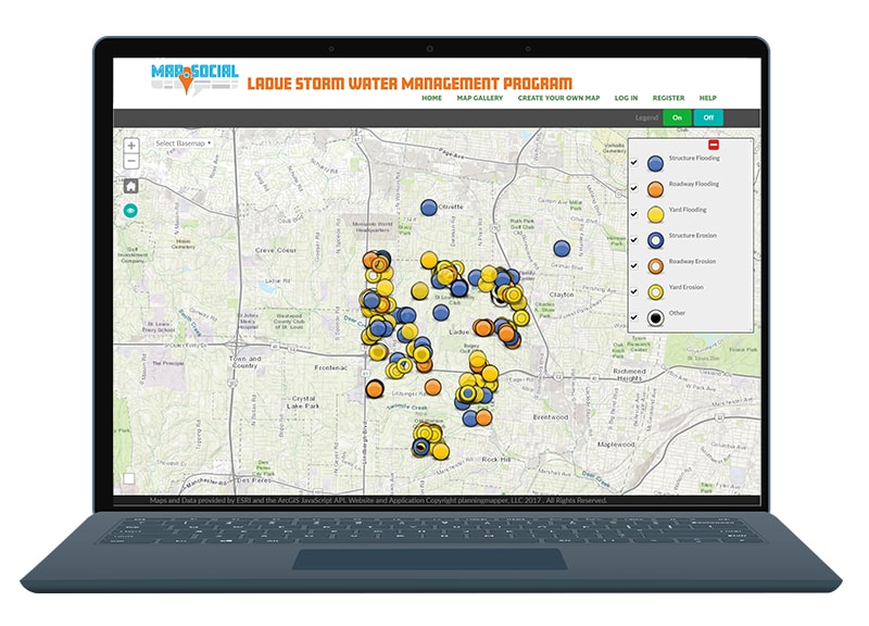
CUSTOMIZABLE LEGEND
The legend is fully customizable with distinctive icons to collect and map the exact information you are looking for

CLOUD BASED
Accessible from anywhere and to anyone through the cloud, allowing for local, regional, and even global participation

INSTANT FEEDBACK
Users can 'vote' on input from other participants, helping generate instant feedback on comments and ideas

EASY SETUP
Setup and administration is easy, and allows you to customize your base map, user information, and other variables
VALUABLE INPUT


PRICE


